


Geographic Information Systems
What is a GIS?
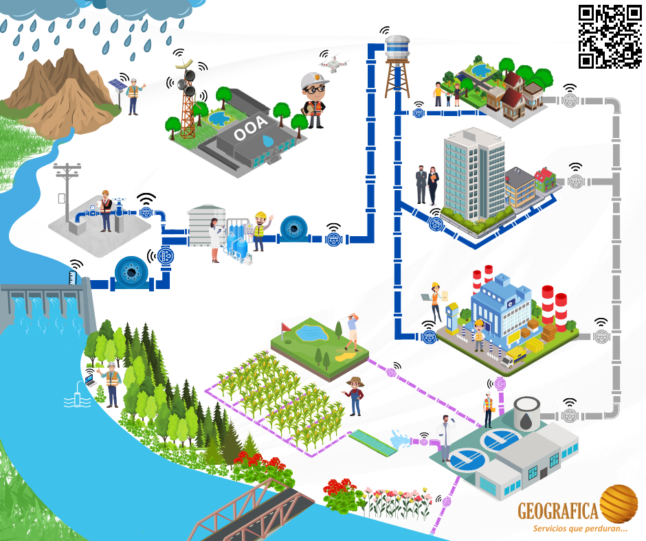
It is a system that creates, manages, analyzes and cartographically represents all types of data.
Our main services:
- Collection, digitization and/or updating of information.
- Geographic database Creation.
- Development of customized tools.
- Integration with other systems (Scada, Commercial, Operation, Asset Management, Customer Service).
- GIS implementation.
- Training and support.
- Preparation and management of cartography.
- Subrogation of activities.
GIS benefits:
- Decision making.
- Resource optimization.
- Asset tracking and management.
- Crisis management and disaster response.
- Spatial planning.
- Market analysis.
- Development of applications.
- Save time.
- Optimize processes.
- Speed up the consultation.
- Capture information in areas without network coverage.
 Obtaining LIDAR, multispectral and thermal information with the assistance of drones.